Phillip Island na mapě
Phillip Island (Victoria) , Austrálie na mapě.
GPS souřadnice: 38° 29' 0.6" Jih,
145° 13' 51.7" Východ.
» Časové pásmo, » Politická mapa, » Přírodní mapa,
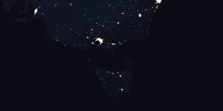
» Phillip Island na noční mapě & » na mapě Google.
 Čas
ČasPhillip Island umístění na mapě časových pásem:
Časové pásmo: GMT+10:00 = AEST


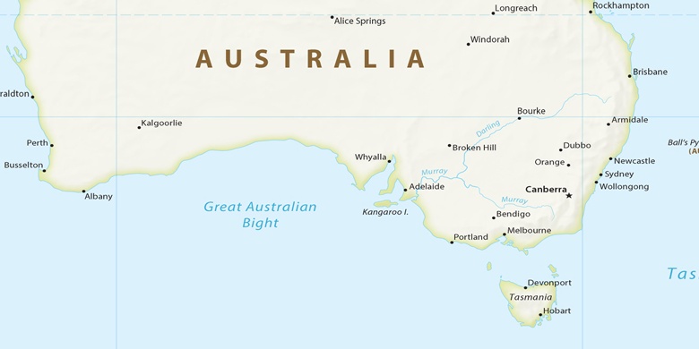
Austrálie, Phillip Island Politická mapa

Přírodní mapa
Šířka Délka: -38.48349, 145.23102
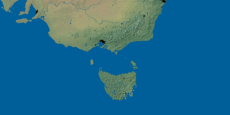

Phillip Island
Phillip Island na noční mapě