Kasterlee na mapě
Kasterlee (Flanders) , Belgie na mapě.
GPS souřadnice: 51° 14' 28.2" Sever,
4° 57' 59.4" Východ.
» Časové pásmo, » Politická mapa, » Přírodní mapa,
» Kasterlee na noční mapě & » na mapě Google.
 Čas
ČasKasterlee umístění na mapě časových pásem:
Časové pásmo: GMT+02:00 = CEST (±1 DST)


Belgie, Kasterlee Politická mapa


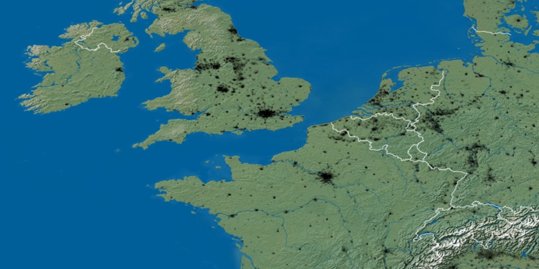
Přírodní mapa
Šířka Délka: 51.24118, 4.96651

Kasterlee
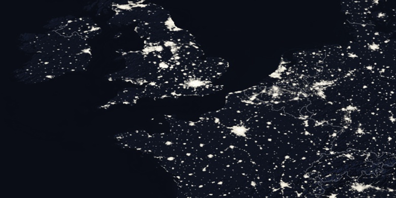
Kasterlee na noční mapě