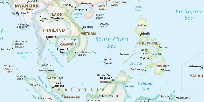
San Vicente na mapě
San Vicente (Central Luzon) , Filipíny na mapě.
GPS souřadnice: 14° 56' 45.4" Sever,
120° 44' 54.7" Východ.
» Časové pásmo, » Politická mapa, » Přírodní mapa,
» San Vicente na noční mapě & » na mapě Google.
 Čas
ČasSan Vicente umístění na mapě časových pásem:
Časové pásmo: GMT+08:00 = PST


Filipíny, San Vicente Politická mapa

Přírodní mapa
Šířka Délka: 14.94594, 120.74852
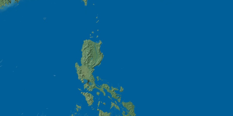

San Vicente
San Vicente na noční mapě