Ille-sur-Têt na mapě
Ille-sur-Têt (Languedoc-Roussillon) , Francie na mapě.
GPS souřadnice: 42° 40' 14.5" Sever,
2° 37' 17.8" Východ.
» Časové pásmo, » Politická mapa, » Přírodní mapa,
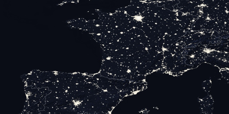
» Ille-sur-Têt na noční mapě & » na mapě Google.
 Čas
ČasIlle-sur-Têt umístění na mapě časových pásem:
Časové pásmo: GMT+02:00 = CEST (±1 DST)


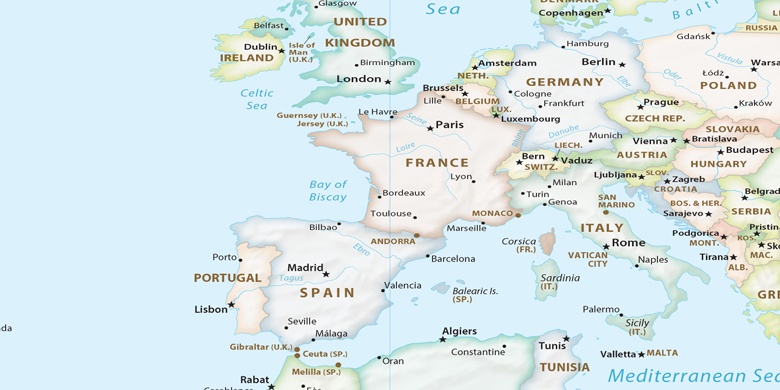
Francie, Ille-sur-Têt Politická mapa

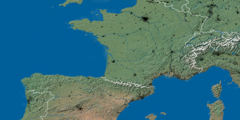
Přírodní mapa
Šířka Délka: 42.67069, 2.62162

Ille-sur-Têt
Ille-sur-Têt na noční mapě