Lātehār na mapě
Lātehār (Jharkhand) , Indie na mapě.
GPS souřadnice: 23° 44' 38.2" Sever,
84° 29' 56.4" Východ.
» Časové pásmo, » Politická mapa, » Přírodní mapa,
» Lātehār na noční mapě & » na mapě Google.
 Čas
ČasLātehār umístění na mapě časových pásem:
Časové pásmo: GMT+05:30 = IST


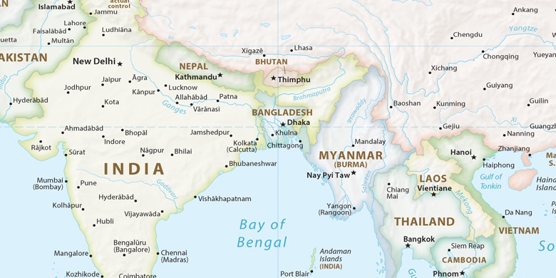
Indie, Lātehār Politická mapa

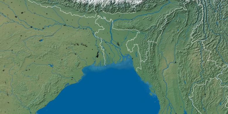
Přírodní mapa
Šířka Délka: 23.74395, 84.499

Lātehār
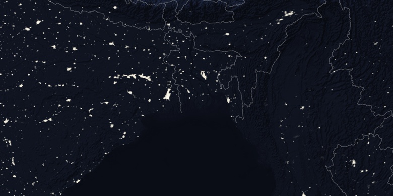
Lātehār na noční mapě