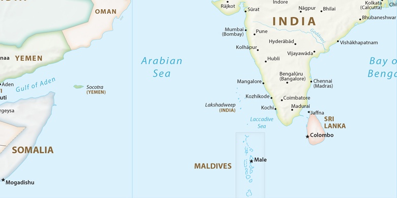
Lingsugūr na mapě
Lingsugūr (Karnataka) , Indie na mapě.
GPS souřadnice: 16° 9' 28.6" Sever,
76° 31' 20.6" Východ.
» Časové pásmo, » Politická mapa, » Přírodní mapa,
» Lingsugūr na noční mapě & » na mapě Google.
 Čas
ČasLingsugūr umístění na mapě časových pásem:
Časové pásmo: GMT+05:30 = IST


Indie, Lingsugūr Politická mapa

Přírodní mapa
Šířka Délka: 16.15795, 76.52238
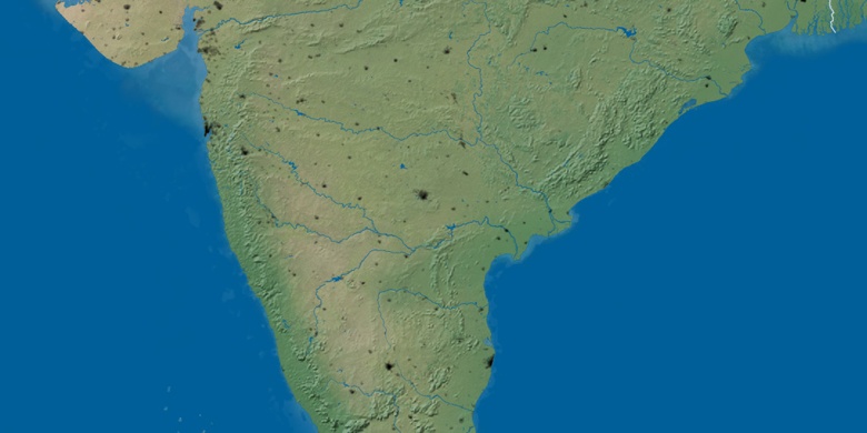

Lingsugūr
Lingsugūr na noční mapě