Māler Kotla na mapě
Māler Kotla (Punjab) , Indie na mapě.
GPS souřadnice: 30° 31' 51.2" Sever,
75° 52' 46.2" Východ.
» Časové pásmo, » Politická mapa, » Přírodní mapa,
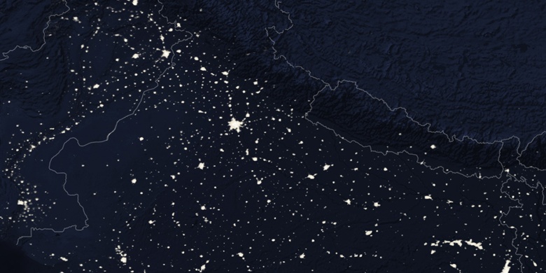
» Māler Kotla na noční mapě & » na mapě Google.
 Čas
ČasMāler Kotla umístění na mapě časových pásem:
Časové pásmo: GMT+05:30 = IST


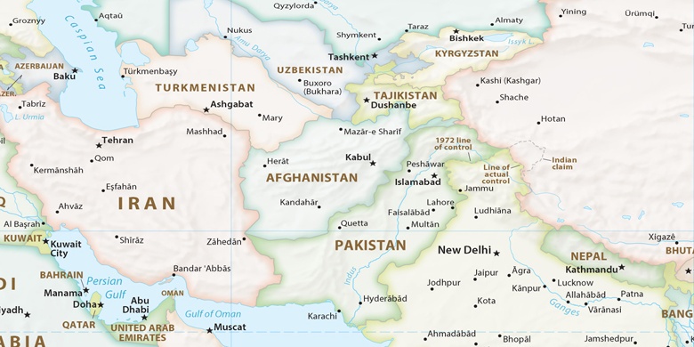
Indie, Māler Kotla Politická mapa

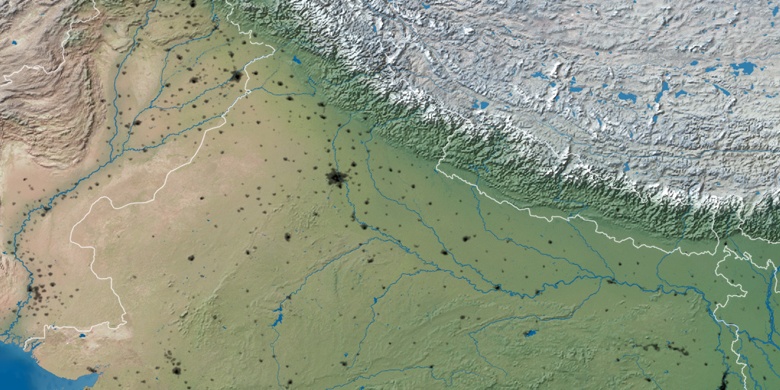
Přírodní mapa
Šířka Délka: 30.5309, 75.87949

Māler Kotla
Māler Kotla na noční mapě