Mandāwar na mapě
Mandāwar (Rajasthan) , Indie na mapě.
GPS souřadnice: 27° 51' 49.5" Sever,
76° 32' 60" Východ.
» Časové pásmo, » Politická mapa, » Přírodní mapa,
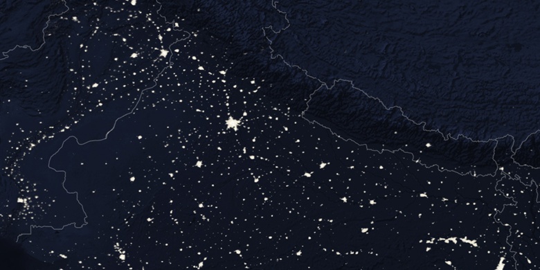
» Mandāwar na noční mapě & » na mapě Google.
 Čas
ČasMandāwar umístění na mapě časových pásem:
Časové pásmo: GMT+05:30 = IST


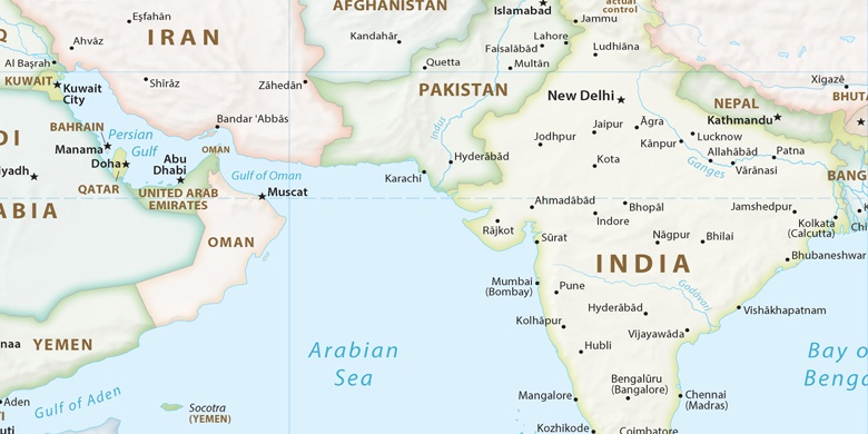
Indie, Mandāwar Politická mapa

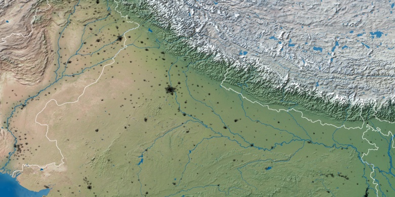
Přírodní mapa
Šířka Délka: 27.86374, 76.54999

Mandāwar
Mandāwar na noční mapě