Manihāri na mapě
Manihāri (Bihar) , Indie na mapě.
GPS souřadnice: 25° 20' 20.1" Sever,
87° 37' 11.9" Východ.
» Časové pásmo, » Politická mapa, » Přírodní mapa,
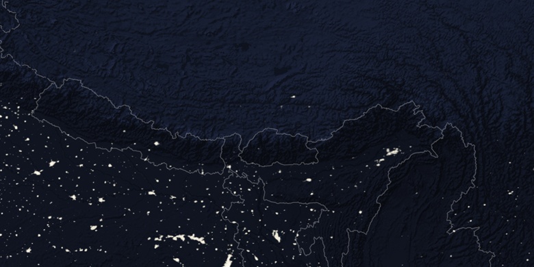
» Manihāri na noční mapě & » na mapě Google.
 Čas
ČasManihāri umístění na mapě časových pásem:
Časové pásmo: GMT+05:30 = IST


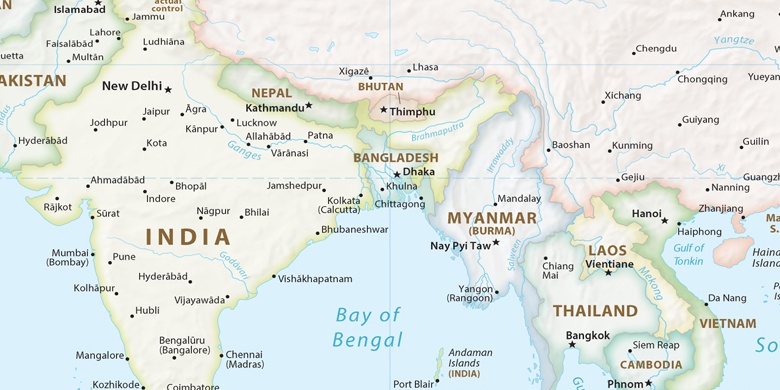
Indie, Manihāri Politická mapa

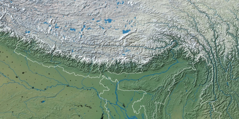
Přírodní mapa
Šířka Délka: 25.33891, 87.61998

Manihāri
Manihāri na noční mapě