Sainthia na mapě
Sainthia (West Bengal) , Indie na mapě.
GPS souřadnice: 23° 56' 53.7" Sever,
87° 40' 49.6" Východ.
» Časové pásmo, » Politická mapa, » Přírodní mapa,
» Sainthia na noční mapě & » na mapě Google.
 Čas
ČasSainthia umístění na mapě časových pásem:
Časové pásmo: GMT+05:30 = IST


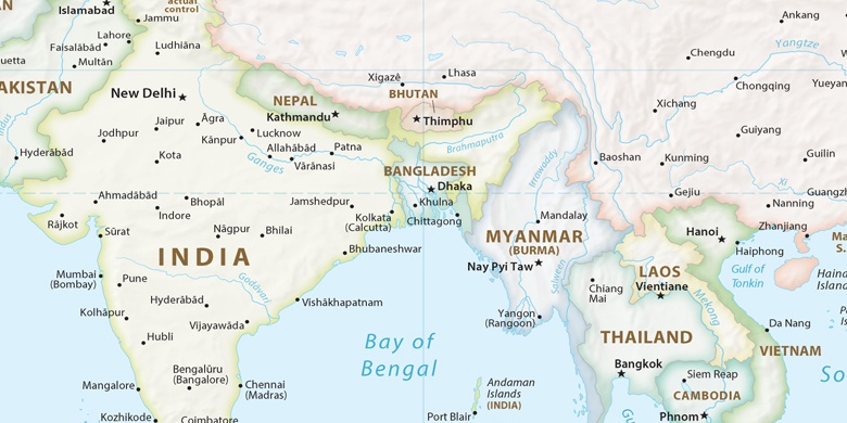
Indie, Sainthia Politická mapa

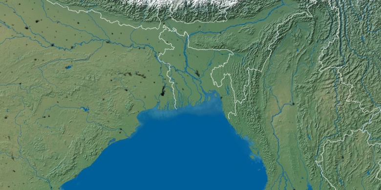
Přírodní mapa
Šířka Délka: 23.94826, 87.68045

Sainthia
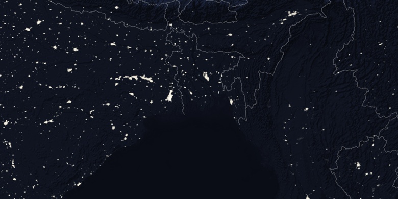
Sainthia na noční mapě