 Tirumullaivāsal na mapě
Tirumullaivāsal (Tamil Nadu) , Indie na mapě.
GPS souřadnice: 11° 14' 24.9" Sever,
79° 50' 16.8" Východ.
» Časové pásmo, » Politická mapa, » Přírodní mapa,
» Tirumullaivāsal na noční mapě & » na mapě Google.
 Čas
ČasTirumullaivāsal umístění na mapě časových pásem:
Časové pásmo: GMT+05:30 = IST


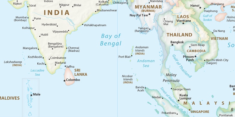
Indie, Tirumullaivāsal Politická mapa

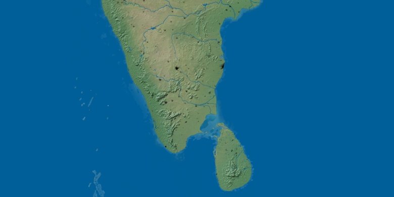
Přírodní mapa
Šířka Délka: 11.24025, 79.83801

Tirumullaivāsal
Tirumullaivāsal na noční mapě

