Plettenberg Bay na mapě
Plettenberg Bay (Western Cape) , Jihoafrická republika na mapě.
GPS souřadnice: 34° 3' 9.9" Jih,
23° 22' 17.8" Východ.
» Časové pásmo, » Politická mapa, » Přírodní mapa,
» Plettenberg Bay na noční mapě & » na mapě Google.
 Čas
ČasPlettenberg Bay umístění na mapě časových pásem:
Časové pásmo: GMT+02:00 = SAST


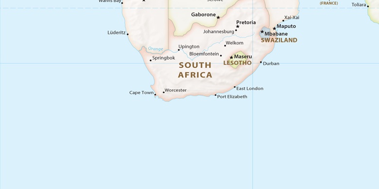
Jihoafrická republika, Plettenberg Bay Politická mapa

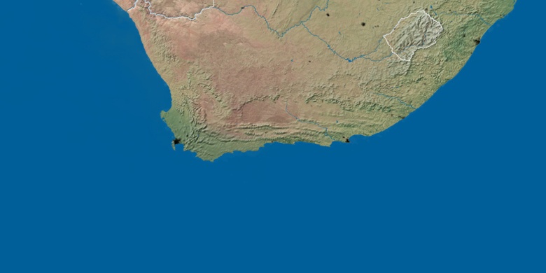
Přírodní mapa
Šířka Délka: -34.05274, 23.3716

Plettenberg Bay
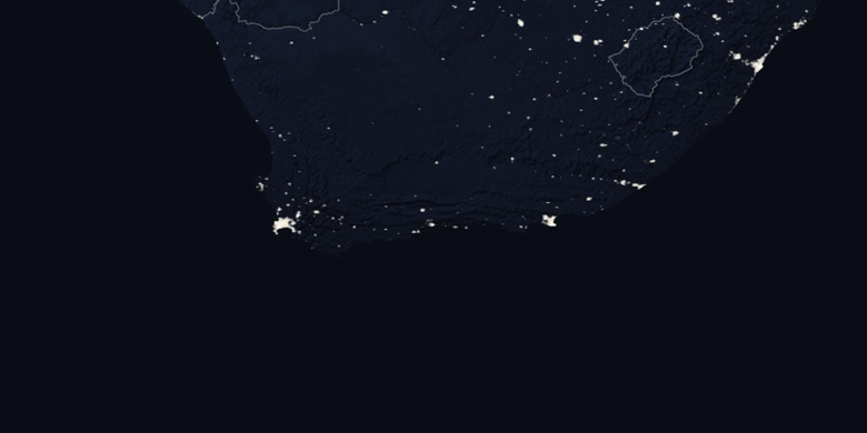
Plettenberg Bay na noční mapě