Candelaria na mapě
Candelaria (Artemisa) , Kuba na mapě.
GPS souřadnice: 22° 44' 5.2" Sever,
82° 57' 29.4" Západ.
» Časové pásmo, » Politická mapa, » Přírodní mapa,
» Candelaria na noční mapě & » na mapě Google.
 Čas
ČasCandelaria umístění na mapě časových pásem:
Časové pásmo: GMT-04:00 = CDT (±1 DST)


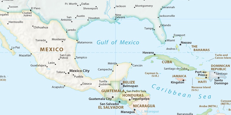
Kuba, Candelaria Politická mapa

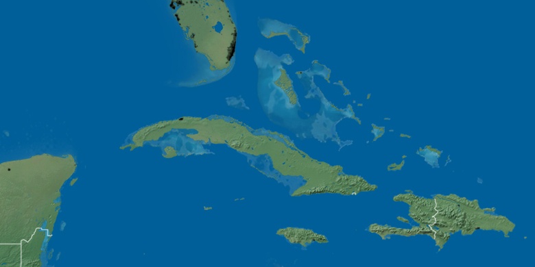
Přírodní mapa
Šířka Délka: 22.73478, -82.95817

Candelaria
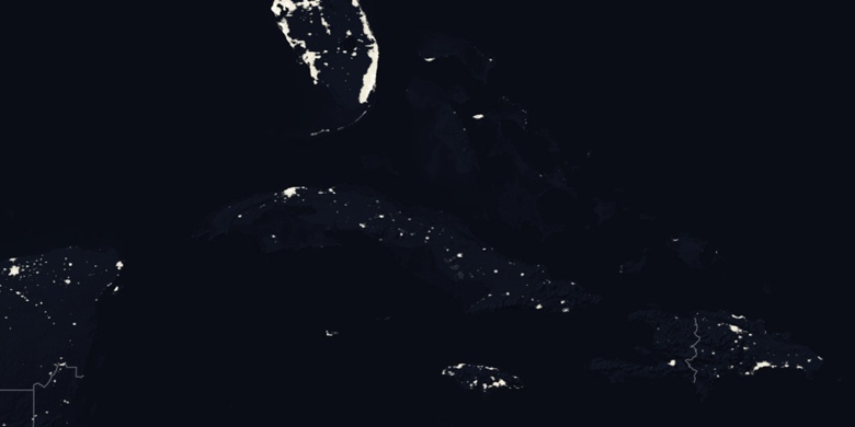
Candelaria na noční mapě