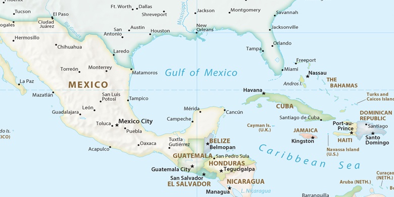
San Vicente Tancuayalab na mapě
San Vicente Tancuayalab (Veracruz) , Mexiko na mapě.
GPS souřadnice: 21° 43' 7.9" Sever,
98° 35' 15.7" Západ.
» Časové pásmo, » Politická mapa, » Přírodní mapa,
» San Vicente Tancuayalab na noční mapě & » na mapě Google.
 Čas
ČasSan Vicente Tancuayalab umístění na mapě časových pásem:
Časové pásmo: GMT-06:00 = CST


Mexiko, San Vicente Tancuayalab Politická mapa

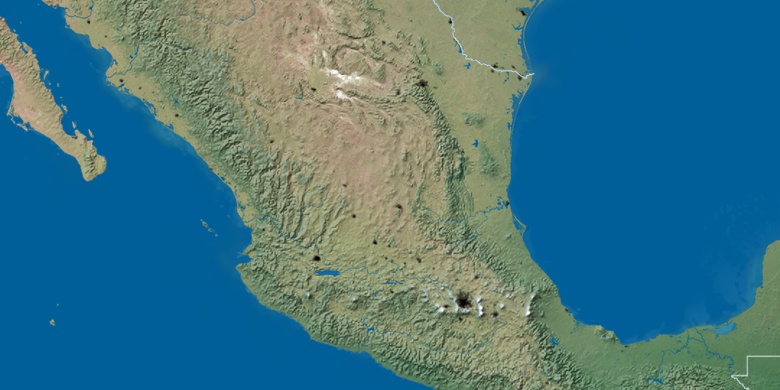
Přírodní mapa
Šířka Délka: 21.71886, -98.58769

San Vicente Tancuayalab
San Vicente Tancuayalab na noční mapě