Tanout na mapě
Tanout (Zinder
) , Niger na mapě.
GPS souřadnice: 14° 58' 15.2" Sever,
8° 53' 16.3" Východ.
» Časové pásmo, » Politická mapa, » Přírodní mapa,
» Tanout na noční mapě & » na mapě Google.
 Čas
ČasTanout umístění na mapě časových pásem:
Časové pásmo: GMT+01:00 = WAT


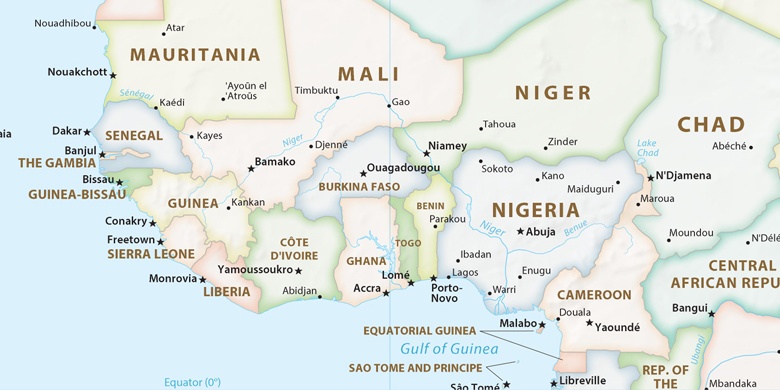
Niger, Tanout Politická mapa

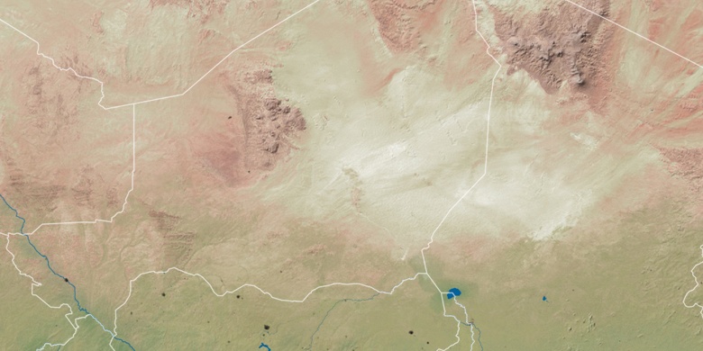
Přírodní mapa
Šířka Délka: 14.97089, 8.88786

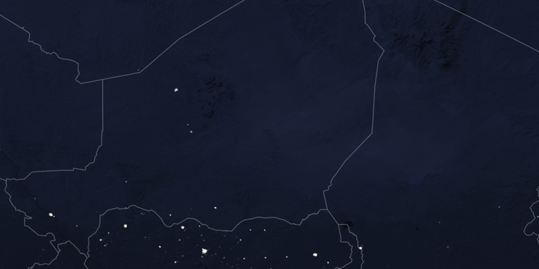
Tanout
Tanout na noční mapě