Otan Ayegbaju na mapě
Otan Ayegbaju (Osun
) , Nigérie na mapě.
GPS souřadnice: 7° 56' 52.2" Sever,
4° 47' 18.1" Východ.
» Časové pásmo, » Politická mapa, » Přírodní mapa,
» Otan Ayegbaju na noční mapě & » na mapě Google.
 Čas
ČasOtan Ayegbaju umístění na mapě časových pásem:
Časové pásmo: GMT+01:00 = WAT


Nigérie, Otan Ayegbaju Politická mapa


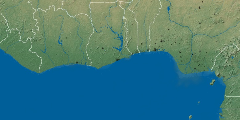
Přírodní mapa
Šířka Délka: 7.94783, 4.78836

Otan Ayegbaju
Otan Ayegbaju na noční mapě