Ahmadpur East na mapě
Ahmadpur East (Punjab) , Pákistán na mapě.
GPS souřadnice: 29° 8' 35.1" Sever,
71° 15' 35.1" Východ.
» Časové pásmo, » Politická mapa, » Přírodní mapa,
» Ahmadpur East na noční mapě & » na mapě Google.
 Čas
ČasAhmadpur East umístění na mapě časových pásem:
Časové pásmo: GMT+05:00 = PKT


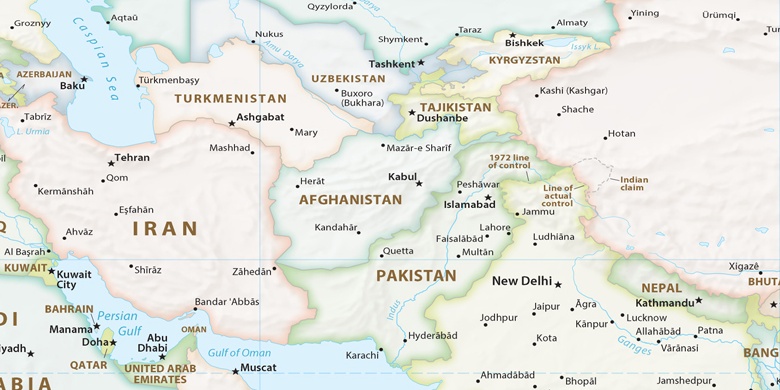
Pákistán, Ahmadpur East Politická mapa

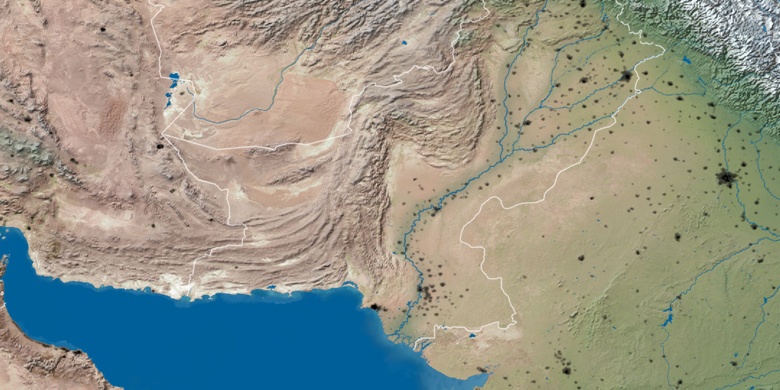
Přírodní mapa
Šířka Délka: 29.14309, 71.25976

Ahmadpur East
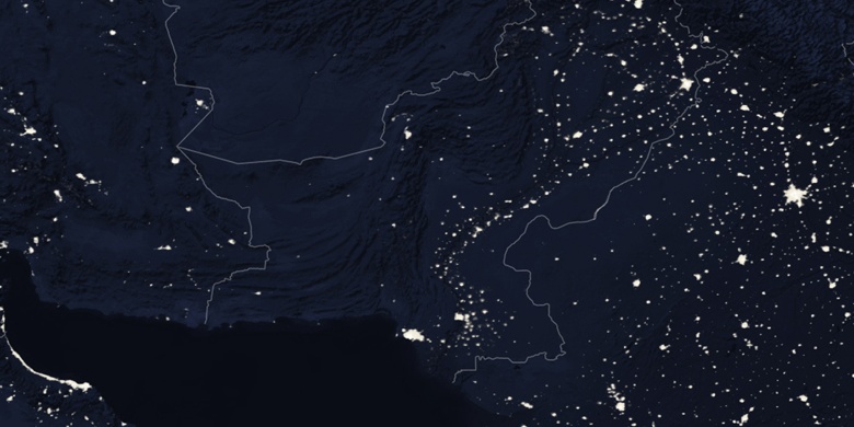
Ahmadpur East na noční mapě