Dhannābah na mapě
Dhannābah (West Bank
) , Palestinská autonomie na mapě.
GPS souřadnice: 32° 18' 48.3" Sever,
35° 2' 29.2" Východ.
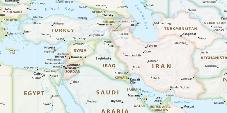
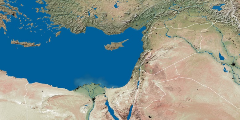
» Časové pásmo, » Politická mapa, » Přírodní mapa,
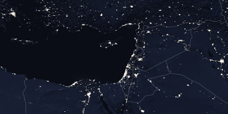
» Dhannābah na noční mapě & » na mapě Google.
 Čas
ČasDhannābah umístění na mapě časových pásem:
Časové pásmo: GMT+03:00 = EEST (±1 DST)


Palestinská autonomie, Dhannābah Politická mapa

Přírodní mapa
Šířka Délka: 32.31341, 35.04144

Dhannābah
Dhannābah na noční mapě