‘Illār na mapě
‘Illār (West Bank
) , Palestinská autonomie na mapě.
GPS souřadnice: 32° 22' 12.9" Sever,
35° 6' 25.5" Východ.
» Časové pásmo, » Politická mapa, » Přírodní mapa,
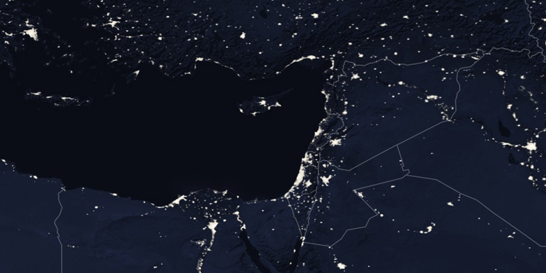
» ‘Illār na noční mapě & » na mapě Google.
 Čas
Čas‘Illār umístění na mapě časových pásem:
Časové pásmo: GMT+03:00 = EEST (±1 DST)


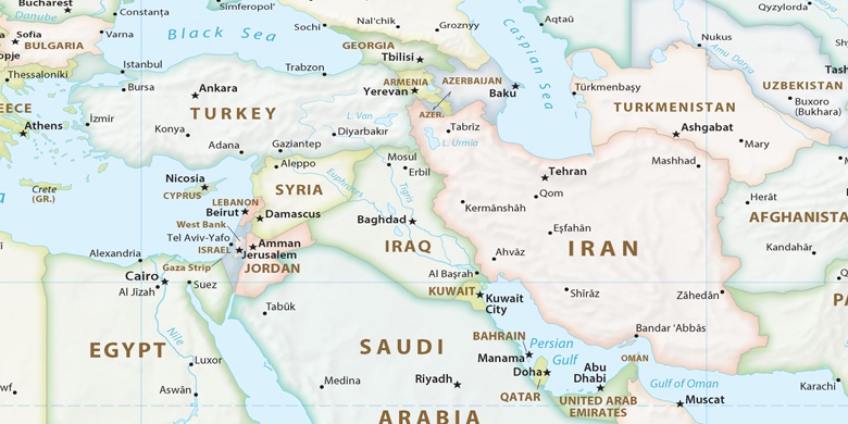
Palestinská autonomie, ‘Illār Politická mapa

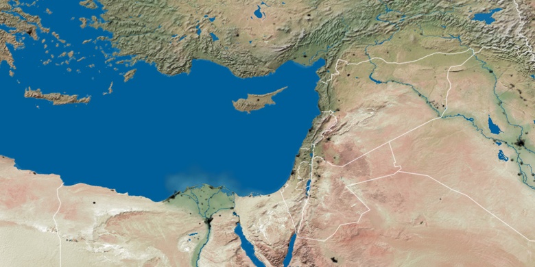
Přírodní mapa
Šířka Délka: 32.37024, 35.10708

‘Illār
‘Illār na noční mapě