Butte-Silver Bow (Balance) na mapě
Butte-Silver Bow (Balance) (Montana) , Spojené státy americké na mapě.
GPS souřadnice: 45° 54' 7" Sever,
112° 39' 25.5" Západ.
» Časové pásmo, » Politická mapa, » Přírodní mapa,
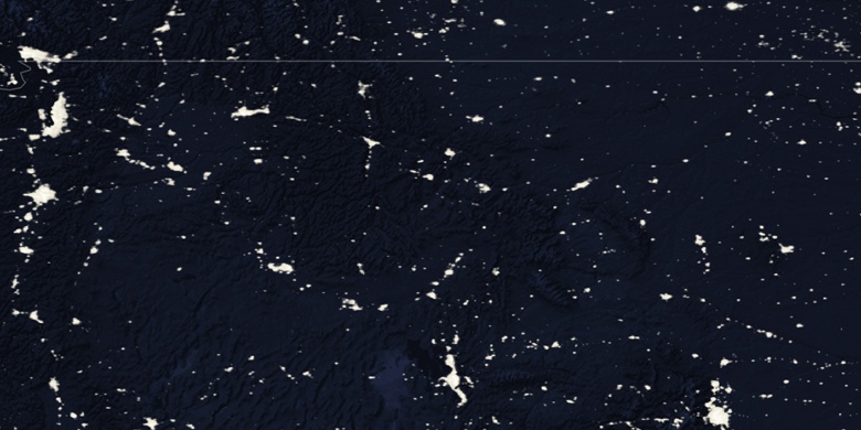
» Butte-Silver Bow (Balance) na noční mapě & » na mapě Google.
 Čas
ČasButte-Silver Bow (Balance) umístění na mapě časových pásem:
Časové pásmo: GMT-06:00 = MDT (±1 DST)


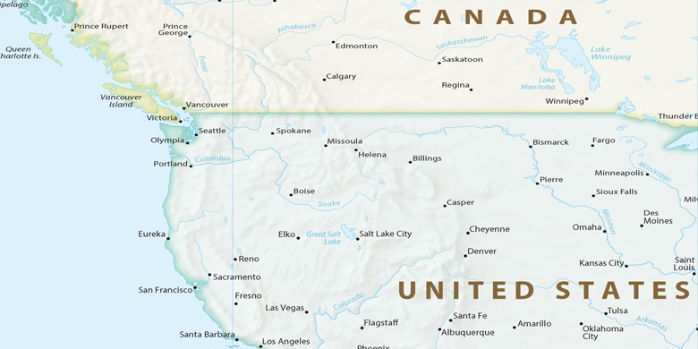
Spojené státy americké, Butte-Silver Bow (Balance) Politická mapa

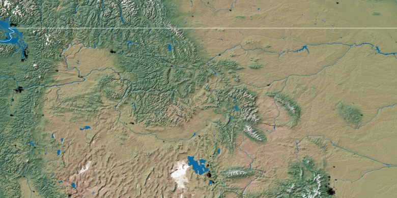
Přírodní mapa
Šířka Délka: 45.90194, -112.65708

Butte-Silver Bow (Balance)
Butte-Silver Bow (Balance) na noční mapě