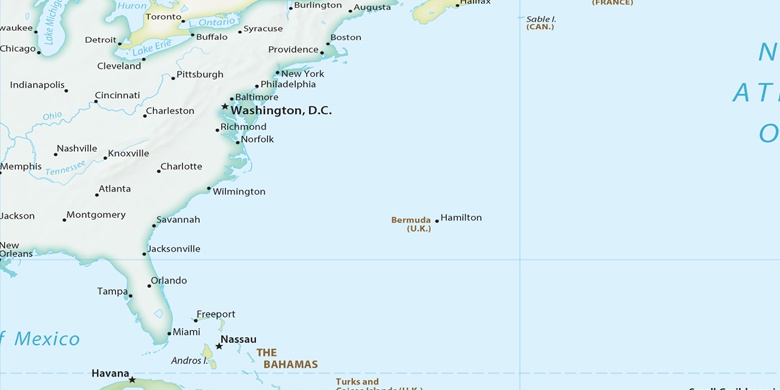
District Heights na mapě
District Heights (Maryland) , Spojené státy americké na mapě.
GPS souřadnice: 38° 51' 27.4" Sever,
76° 53' 21.9" Západ.
» Časové pásmo, » Politická mapa, » Přírodní mapa,
» District Heights na noční mapě & » na mapě Google.
 Čas
ČasDistrict Heights umístění na mapě časových pásem:
Časové pásmo: GMT-04:00 = EDT (±1 DST)


Spojené státy americké, District Heights Politická mapa

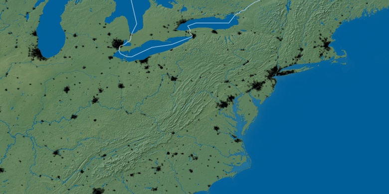
Přírodní mapa
Šířka Délka: 38.85761, -76.88942

District Heights
District Heights na noční mapě