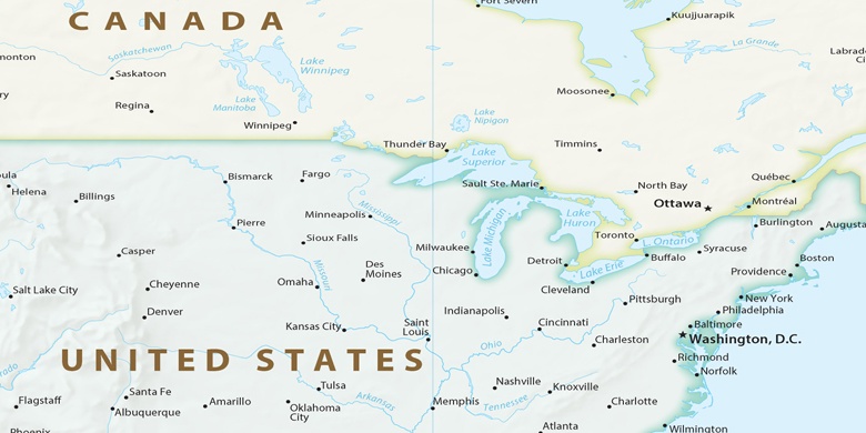
 Peoria Heights na mapě
Peoria Heights (Illinois) , Spojené státy americké na mapě.
GPS souřadnice: 40° 44' 50.1" Sever,
89° 34' 26.3" Západ.
» Časové pásmo, » Politická mapa, » Přírodní mapa,
» Peoria Heights na noční mapě & » na mapě Google.
 Čas
ČasPeoria Heights umístění na mapě časových pásem:
Časové pásmo: GMT-05:00 = CDT (±1 DST)


Spojené státy americké, Peoria Heights Politická mapa

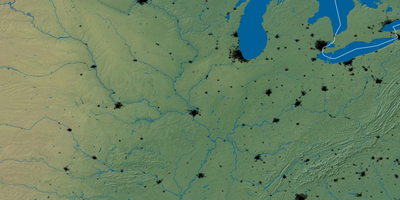
Přírodní mapa
Šířka Délka: 40.74726, -89.57398

Peoria Heights
Peoria Heights na noční mapě

