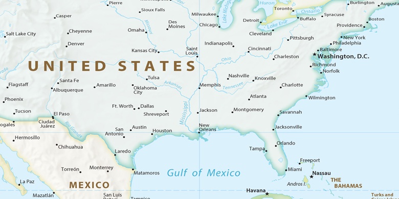
Saint Augustine Shores na mapě
Saint Augustine Shores (Florida) , Spojené státy americké na mapě.
GPS souřadnice: 29° 48' 38.9" Sever,
81° 18' 37.3" Západ.
» Časové pásmo, » Politická mapa, » Přírodní mapa,
» Saint Augustine Shores na noční mapě & » na mapě Google.
 Čas
ČasSaint Augustine Shores umístění na mapě časových pásem:
Časové pásmo: GMT-04:00 = EDT (±1 DST)


Spojené státy americké, Saint Augustine Shores Politická mapa

Přírodní mapa
Šířka Délka: 29.8108, -81.31035
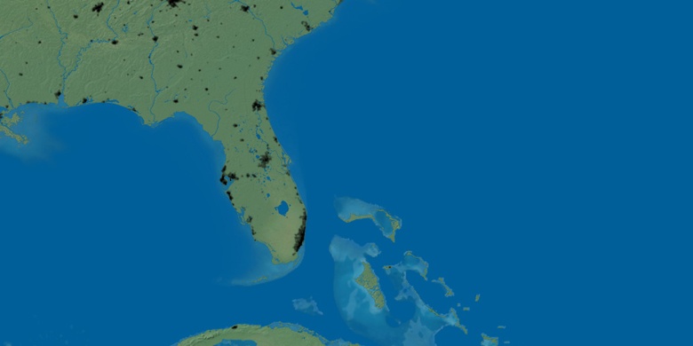

Saint Augustine Shores
Saint Augustine Shores na noční mapě