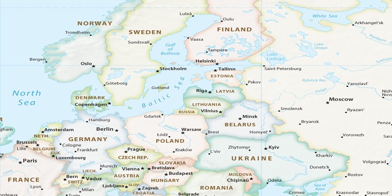
Bischofswerda na mapě
Bischofswerda (Saxony) , Německo na mapě.
GPS souřadnice: 51° 7' 39.8" Sever,
14° 10' 47.1" Východ.
» Časové pásmo, » Politická mapa, » Přírodní mapa,
» Bischofswerda na noční mapě & » na mapě Google.
 Čas
ČasBischofswerda umístění na mapě časových pásem:
Časové pásmo: GMT+02:00 = CEST (±1 DST)


Německo, Bischofswerda Politická mapa

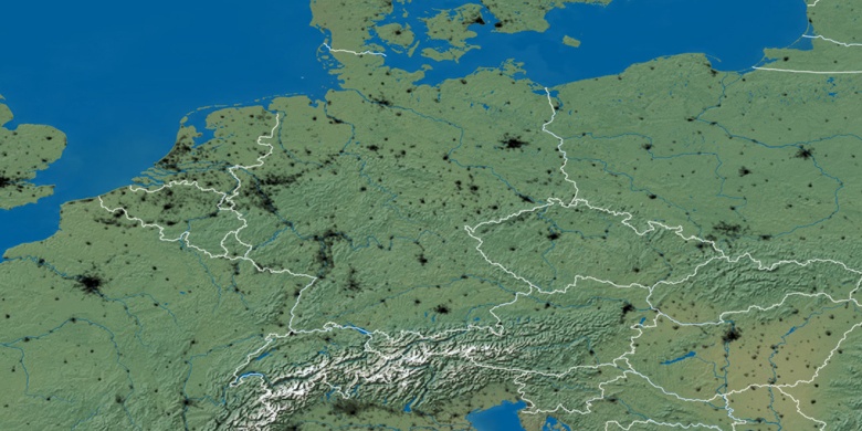
Přírodní mapa
Šířka Délka: 51.12771, 14.17974

Bischofswerda
Bischofswerda na noční mapě